File:AT0907 map.png
From Chalo Chatu, Zambia online encyclopedia

Size of this preview: 689 × 600 pixels. Other resolutions: 276 × 240 pixels | 551 × 480 pixels | 958 × 834 pixels.
Original file (958 × 834 pixels, file size: 40 KB, MIME type: image/png)
Summary
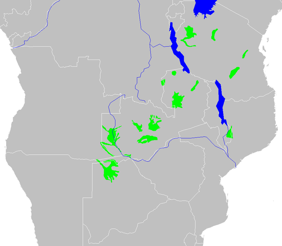
| Description | Zambezian flooded grasslands ecoregion map |
| Date | |
| Source | Own work |
| Author | Altatoron |
Licensing
| I, the copyright holder of this work, release this work into the public domain. This applies worldwide. In some countries this may not be legally possible; if so: I grant anyone the right to use this work for any purpose, without any conditions, unless such conditions are required by law. |
File history
Click on a date/time to view the file as it appeared at that time.
| Date/Time | Thumbnail | Dimensions | User | Comment | |
|---|---|---|---|---|---|
| current | 11:27, 13 February 2008 | | 958 × 834 (40 KB) | wikimediacommons>Doreano~commonswiki | {{Information |Description=Zambezian flooded grasslands ecoregion map |Source=self-made |Date=2008/2/13 |Author= Altatoron |Permission= |other_versions= }} Category:Biomes Category:Biogeography Category:Maps of Angola [[Cate |
File usage
The following page uses this file: